
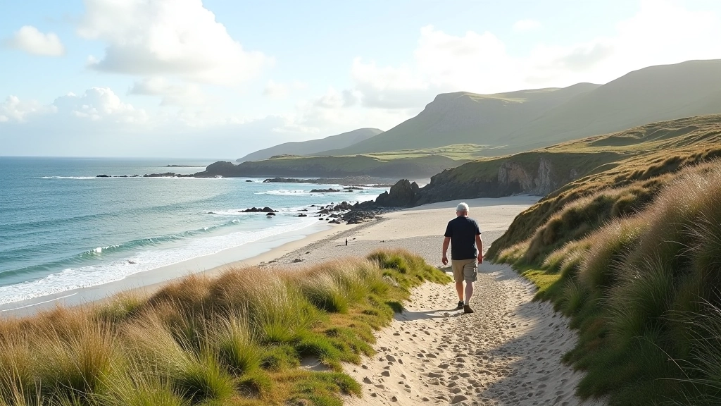
The Derrynane Bay shore path isn't your typical inland walk. It's a 4-kilometre loop that hugs the coastline, with the Atlantic never far from view. We're talking about genuine seaside terrain — sandy stretches one minute, rocky sections the next, with occasional patches of uneven ground that'll test your footing.
What makes this route special is how it connects you directly to the landscape. You're walking where people have walked for centuries, right along the same bay where the O'Connells of Derrynane House once ruled. The path itself is mostly well-maintained, but it's not a flat promenade. It demands a bit of respect and decent footwear.
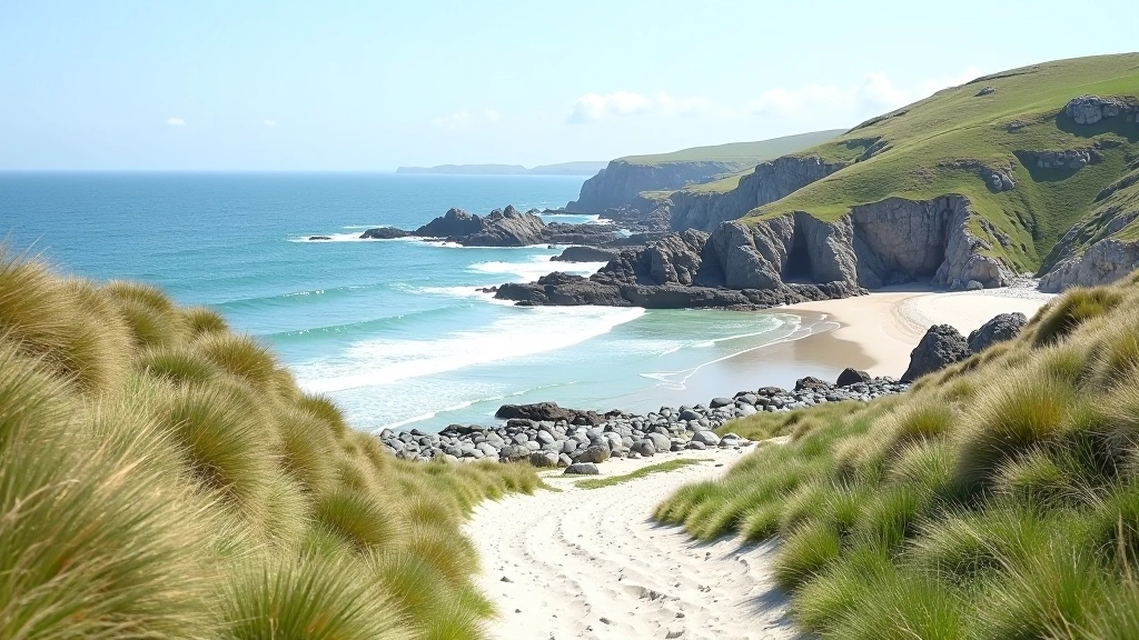
Distance and Duration
The full loop sits at 4 kilometres. That's roughly 50 minutes to an hour of actual walking time for a steady pace, but we'd recommend giving yourself 90 minutes minimum. You'll want time to stop at the good viewpoints and catch your breath without feeling rushed.
The path splits into sections. If you're not keen on the full loop, you can walk out to the main beach area and back — that's about 1.5 kilometres each way. It's a decent option if you're testing the waters before committing to the whole thing. The terrain on the outbound stretch is generally easier than the return, which climbs more steeply toward the end.
Pro tip: Do the walk in the direction that finishes with the easier terrain. This means starting on the rockier, higher sections and ending on the flatter beach areas. Your legs will thank you.
Terrain: Where It Gets Tricky
Here's where honesty matters. The Derrynane path isn't flat. You've got three distinct terrain zones, and knowing them beforehand saves frustration.
Sandy beach sections (easiest)
The flatter stretches along the main beach. Sand compacts well here, so it's relatively stable underfoot. You'll find these in the middle portion of the walk, particularly near the Derrynane House access point.
Rocky outcrops (moderate challenge)
Scattered along the northern section. These aren't scrambles, but they do require careful foot placement. Wearing proper hiking shoes with grip is essential here. The rocks are mostly smooth from sea action, which can be slippery when wet.
Grassy clifftop paths (steepest)
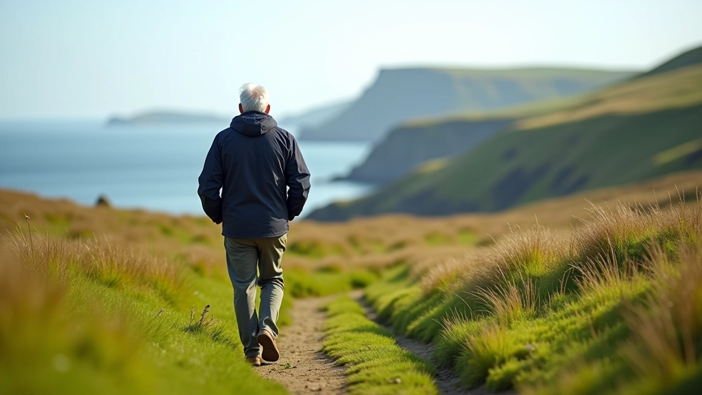
The southern loop includes elevation gain on grassy paths. It's not severe, but it's steady. Some sections have slight erosion from foot traffic, creating shallow ruts. This is where trekking poles really help if you've got them.
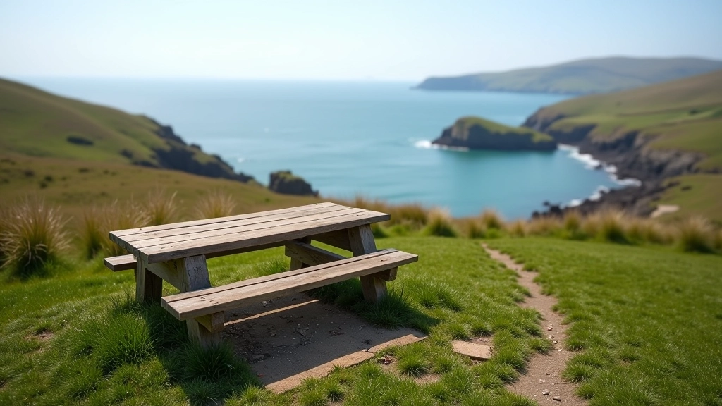
Rest Points and Facilities
You won't find cafés dotted along the route, so plan accordingly. That said, there are natural stopping spots that work well.
- Main beach area: About 1.5km in. Flat, wide space with good views. This is the most popular rest spot.
- Derrynane House viewpoint: Around 2km. A bit of shelter here from wind, and the historical context makes it a worthwhile pause.
- Northern rocky section: Several natural ledges where you can sit. Less crowded than the beach area.
There's a small car park near the start with facilities, so use the toilets before you begin. Once you're on the path, you're committed. No vending machines, no water fountains. Bring what you need.
Seasonal Conditions and Safety
This is Atlantic coastline. Weather can shift fast, and the bay itself influences conditions significantly.
Spring (March-May)
Best conditions. Ground's drying out after winter, light's improving, and crowds are still manageable. Watch for muddy patches in shaded areas.
Summer (June-August)
Popular season. The path is dry and firm. Heat's not usually a problem on the coast thanks to Atlantic breeze. Crowds peak in July.
Autumn (September-November)
Still walkable but wind picks up. Rain becomes more frequent. The rocky sections get genuinely slippery when wet. Footwear grip is critical.
Winter (December-February)
Manageable but challenging. Shorter daylight hours. Ground can be wet for weeks. Rocky sections are hazardous. Go early in the day, bring a headtorch.
The one thing that changes everything is rain. The path itself drains reasonably well, but the rocky sections become genuinely treacherous when wet. We're talking slippery-as-ice conditions. If the forecast shows heavy rain, consider postponing. There's no shame in that.

Final Thoughts
The Derrynane Bay shore path demands a bit of preparation and realistic expectations. It's not a casual stroll, but it's absolutely achievable for anyone with moderate fitness and decent footwear. The reward — genuine coastal walking with historical context and beautiful views — is worth the effort.
Start early, bring water, wear proper shoes, and you'll have a walk you remember. The bay's been drawing people for centuries. Now it'll be your turn.
Disclaimer: This guide is intended to provide general information about the Derrynane Bay shore path for educational and planning purposes. Conditions change seasonally and weather can be unpredictable. Always check current weather forecasts and trail conditions before setting out. Wear appropriate footwear, bring sufficient water and supplies, and walk within your physical capabilities. The Kerry Field Walks Editorial Team cannot be responsible for injuries, accidents, or unforeseen circumstances that may occur during your visit. For the most up-to-date trail information, contact local visitor services in Sneem or Derrynane.