
Ancient Field Walks in Kerry
Explore Staigue Fort, Derrynane Bay, and historic souterrain sites at a pace that suits you
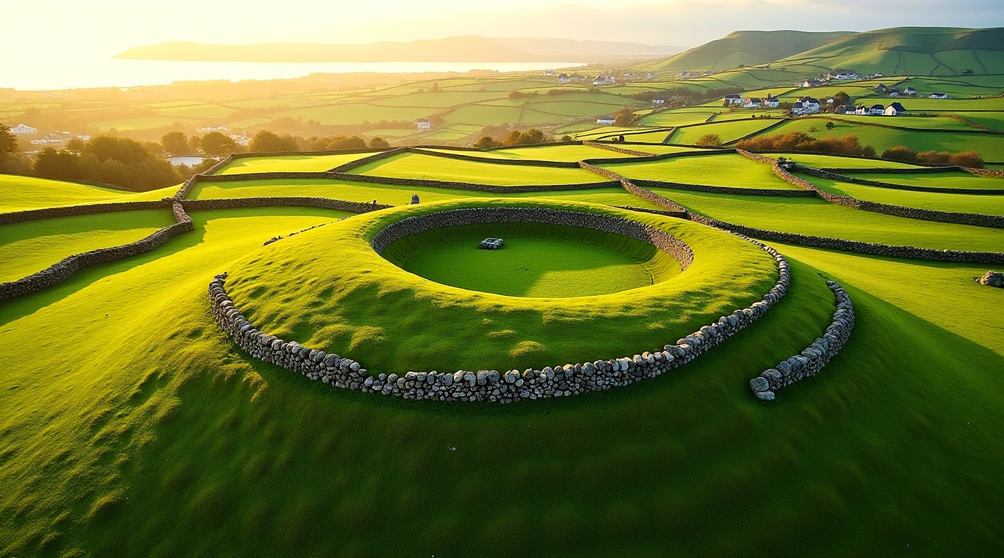
We've mapped accessible routes through Kerry's archaeological landscape. Practical guides for walking these ancient places — no rush, no scrambling, just good paths and real history.
How This Started
Building a resource for walking Kerry's archaeology
First Walks Documented
Started mapping accessible routes through ringfort and souterrain sites across County Kerry. Focus on practical details: distances, terrain, rest points.
Expanded Coverage
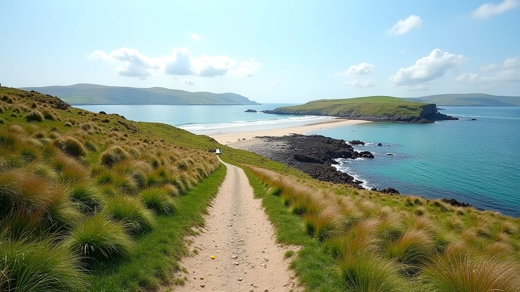
Added detailed guides for Staigue Fort and Derrynane Bay shore path. Included seasonal variations and accessibility notes for different fitness levels.
Souterrain Research
Published comprehensive guide to understanding souterrain sites — what they were, how to spot them, and why they matter to Kerry's archaeological story.
Current Focus
Ongoing seasonal updates, new route notes, and expanded guides for walking safely in various weather conditions and terrain types.
What Our Guides Include
Practical information for every walk
Distance & Duration
Exact route length, typical walking time, and alternatives for different paces. We don't estimate — we've walked these routes.
Terrain Breakdown
Where the path is paved, where it gets uneven, which sections have steps. Real details about what your feet will encounter.
Rest & Access Points
Where to stop, catch your breath, or turn back. Parking locations, public facilities, and seasonal considerations for each site.
Historical Context
What you're actually looking at when you arrive. Archaeological background without the academic jargon — just useful context for understanding the site.
Ready to Explore?
Pick a walk that interests you. We've made it straightforward — clear distances, honest descriptions of what the terrain's like, and practical tips for making it work at your pace.
See All WalksExplore by Topic
Navigate the walks and guides we've created
Ancient Ringfort Walks
All our guides to ringforts and souterrain sites across Kerry. Start here if you're new to exploring these archaeological sites.
Explore CategoryStaigue Fort
Detailed guide to the approach, the stone structure, and what you'll see from the hilltop location.
Read GuideDerrynane Bay
Breakdown of the shore path, terrain variations, and the best spots to rest along the route.
Read GuideSouterrain Sites
Understanding what these underground passages were for, how to identify them, and their role in Kerry's history.
Read GuideWalking Safety
Footwear recommendations, pacing strategies, and what to watch for in different weather and seasons.
Read GuideFeatured Walks
Our most detailed guides
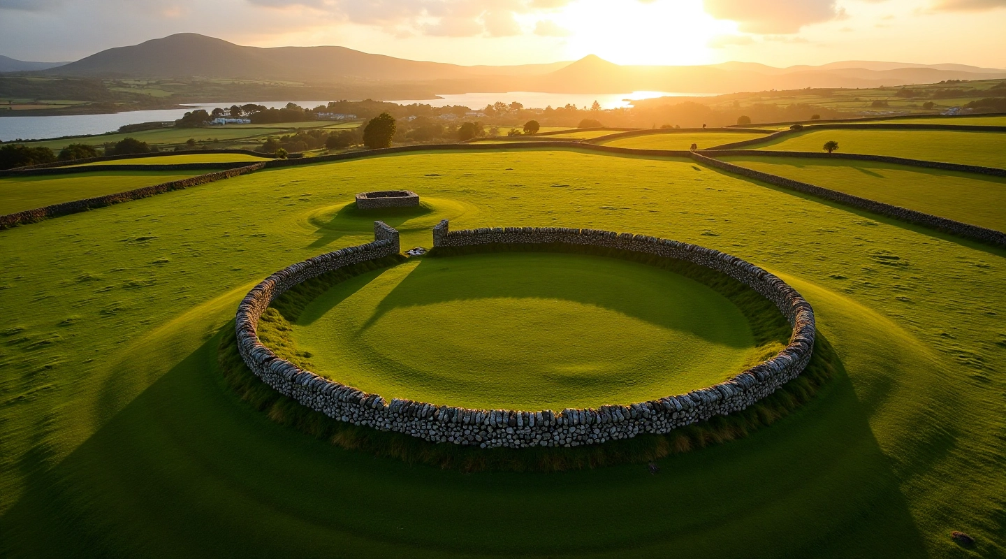
Staigue Fort: What You'll See on the Walk
A practical guide to navigating the hillside approach and understanding the stone structure. Routes for different fitness levels, terrain details, and what makes this ringfort significant in Kerry's archaeological landscape.
Read Full GuideDerrynane Bay Shore Path: Distance and Terrain
Detailed breakdown of the shoreline route, where the path gets uneven, best rest spots, and seasonal conditions to watch for.
Read MoreUnderstanding Souterrain Sites: History and Archaeology
What these underground passages were actually for, how to spot them on field walks, and why they matter to Kerry's story.
Read MoreWalking Safely: Footwear, Pacing, and Weather
Practical recommendations for comfortable, safe walking on various terrains. What to wear, how to pace yourself, seasonal considerations.
Read MoreWhy Explore These Sites
What you'll gain from walking Kerry's archaeology
Connect with Real History
These sites are thousands of years old. Standing at a ringfort or exploring a souterrain entrance puts you directly in contact with how people actually lived in ancient Ireland.
Walk at Your Own Pace
We're not pushing speed records here. These routes work for different fitness levels, with clear descriptions of what to expect and where you can rest or turn back.
Understand the Landscape
Kerry's countryside tells a story. Learning what ringforts and souterrain sites were actually for helps you read the landscape differently on every walk.
Fresh Air, Real Movement
Being outdoors in Kerry's landscape — coastal paths, hillside routes, open fields — is good for you. We've just made it easier to know what you're walking into.
How We Approach This
Our principles for writing about these walks
On-the-Ground Details
We've walked these routes. The distances, terrain descriptions, and rest points aren't guesses — they're based on actual experience.
Accessible Information
No academic jargon or confusing explanations. We write for people who want clear, practical information about these archaeological sites.
Seasonal Updates
Conditions change with the weather and seasons. We review and update guides regularly so you're working with current information.
Historical Context
Understanding what you're looking at makes the walk more interesting. We provide the historical background without overcomplicating things.
Questions About These Walks
Practical answers for planning your visit
What's the best time of year to walk these routes?
Late spring through early autumn (May to September) generally offers the best conditions. The paths are driest, daylight hours are longer, and the weather is more predictable. That said, these walks are doable year-round — just check our seasonal notes in each guide for what to expect in winter or during wet weather.
Are the paths suitable for walking boots or do I need specialist gear?
Good walking boots are all you need. We've avoided routes that require climbing gear or technical equipment. Our guides describe the exact terrain so you can choose appropriate footwear — sturdy boots with ankle support are recommended for the hillside approaches, especially after rain.
Can I modify these walks to be shorter or easier?
Yes. Most guides include alternative routes or natural turnaround points. You don't have to complete the full distance — the archaeological sites themselves are worth visiting even if you walk just partway up a route.
Where should I park and are there facilities nearby?
Each guide includes specific parking information and details about facilities in nearby towns. We've tried to identify spots that work for the walk without requiring you to guess or search around when you arrive.
What if I'm not very fit — are these walks still possible?
We've included routes for different fitness levels. The Derrynane Bay shore path is generally easier than the hillside approach to Staigue Fort. Our guides are honest about difficulty — you'll know what you're getting into before you start.
How long do these walks typically take?
That depends on your pace and how long you want to spend at each site. We give realistic time estimates based on actual walking, but these are relaxed explorations — stop when you want, rest when you need to, spend as much time as you like at the archaeological sites.
More Resources
Additional pages to help you plan and understand
About Us
Who creates these guides and how we approach documenting walks and archaeological sites.
Knowledge Base
Answers to common questions, tips for safe walking, and deeper explanations of what you'll encounter.
Walk Gallery
Photos and descriptions from actual walks, showing what different routes look like in different seasons.
Get in Touch
Have questions about a specific walk? Want to suggest a route? We'd like to hear from you.
We use cookies to understand how you use our site and to improve your experience. By continuing to browse, you're agreeing to our use of cookies.