
What Is a Souterrain?
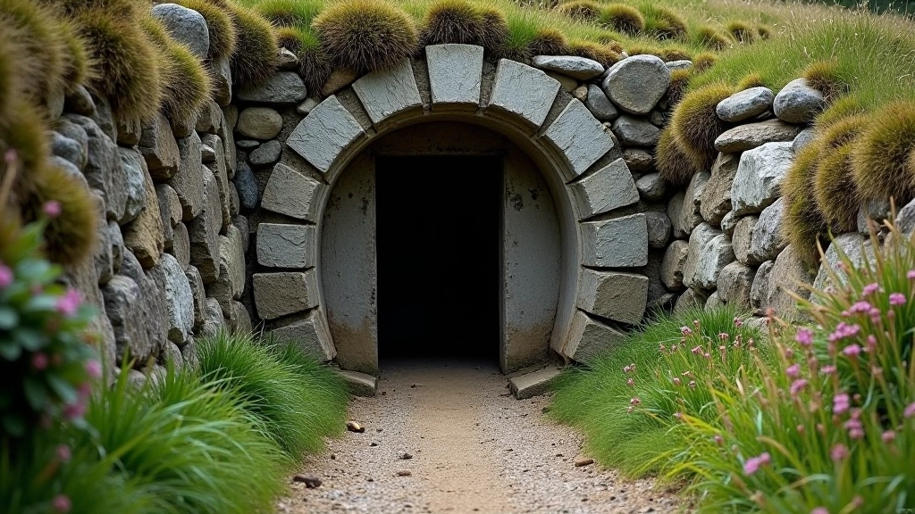
A souterrain — the name comes from French, meaning "under the earth" — is an underground stone-built passage, usually found near ancient ringforts or settlements. They're not tombs or burial chambers. They're not mines or quarries. Instead, they're functional structures that served a very practical purpose in Iron Age and early medieval Ireland.
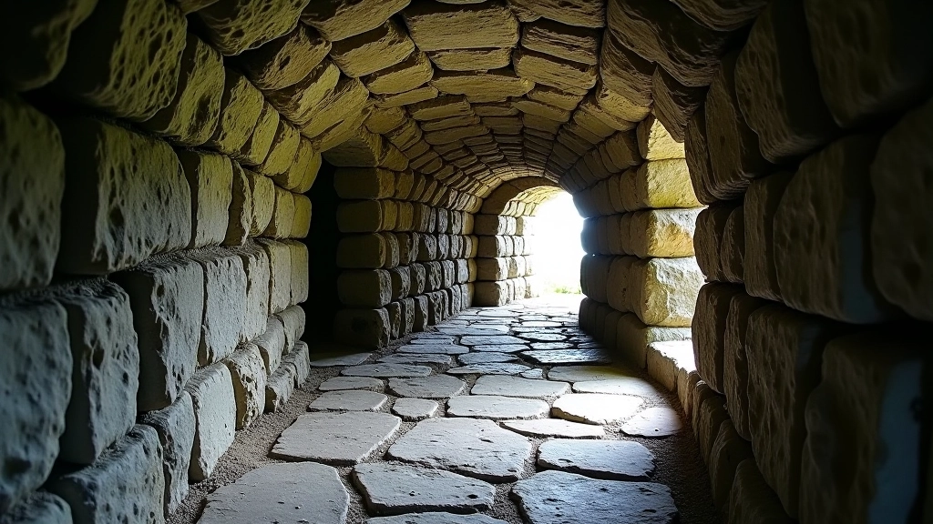
Think of them as underground rooms or corridors carved into bedrock or built from carefully stacked stones, then covered over with earth and turf. You'll find them scattered across Kerry's landscape, often hidden beneath fields or barely visible as slight depressions on hillsides. Most range from 3 to 20 metres long, though some stretch much further. The passages are typically just tall enough to crouch through — around 1.5 metres high — which would've been perfectly adequate for people of the time.
What makes them genuinely fascinating is their complexity. They're not simple tunnels. Many have multiple chambers, side passages, and deliberate bends or jogs in their layout. These design features weren't accidental. They served specific functions, and understanding them helps us read the archaeology.
Why Were They Built?
Archaeologists don't all agree on a single purpose, and that's actually the honest answer. The most widely accepted theory is that they served as secure storage — for grain, preserved food, or valuable items. Underground spaces naturally stay cool and dry, which is perfect for keeping foodstuffs fresh through winter months. In a society where food security directly affected survival, this mattered enormously.
Some souterrains were clearly refuges. When danger approached — whether from raiders, rival clans, or hostile neighbours — people could retreat underground where they'd be harder to reach. The narrow passages and deliberate bends meant invaders couldn't simply rush through. You'll see this defensive thinking in how the passages are designed. Attackers would be forced to move slowly, crouch-walking through tight spaces where defenders could hold strategic positions.
A third purpose, less common but still documented, was ritual or religious. Some souterrains show signs of being used in ceremonies or sacred practices. The darkness, the enclosed space, the separation from the world above — these elements held meaning in ancient Irish spirituality.
The reality? Most souterrains probably served multiple purposes over their lifetime. A storage space during peacetime could become a refuge when threats emerged. A ritual site could also function as a secure room for valuables. They weren't single-purpose structures — they were adaptable spaces that fit the needs of the community that built them.
How to Spot One on a Field Walk
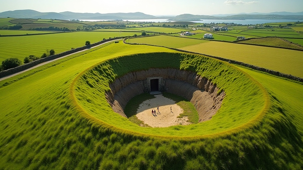
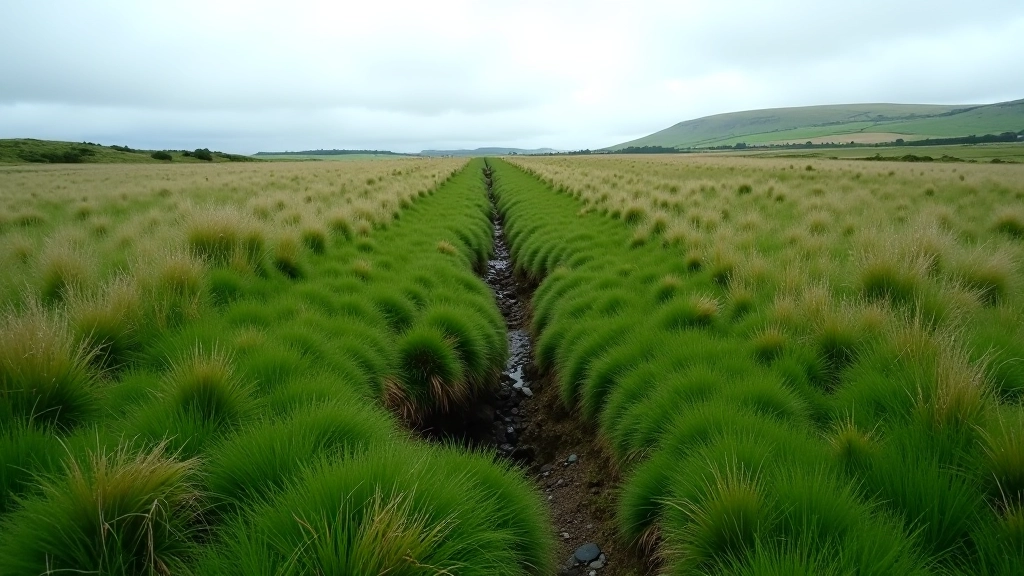
Here's the practical bit. When you're walking through Kerry's ringfort sites, you're looking for specific markers that indicate a souterrain nearby. First, watch for depressions or sunken areas in the ground. These aren't natural — they mark where the roof has partially collapsed or settled over centuries. The ground feels distinctly lower than the surrounding field, often in a roughly linear pattern.
Key Identification Markers
- Sunken linear depressions in fields near ringforts
- Exposed stone entrances or openings at field edges
- Grass-covered mounds with suspicious hollows
- Distinctive dark openings in hillsides
- Information plaques or signs near heritage sites
Second, look at the ground texture. If you spot an actual entrance — an opening in the earth or stone — you're seeing something genuinely ancient. The stone around the entrance often shows weathering patterns that speak to centuries of exposure. Never enter a souterrain without permission and safety precautions. Many are unstable, with loose rocks and poor air quality.
Third, check the context. Souterrains don't appear randomly. They're located near ringforts, enclosed farmsteads, or settlement sites. If you're walking around a visible ringfort, a souterrain is likely within 50 metres. Many aren't visible at all — they're buried completely, known only through archaeological surveys.
The Archaeology Behind the Walls
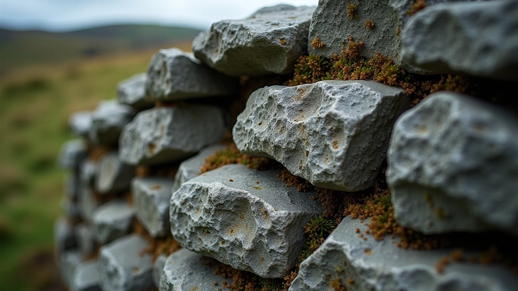
The construction method tells us a lot about the builders' knowledge and resources. Most souterrains use dry stone walling — stones stacked without mortar, relying on careful fitting and gravity. This technique requires skill. The stones aren't randomly piled. They're selected for shape, arranged to interlock, and positioned so the weight distributes evenly. A well-built dry stone wall can last centuries, which explains why many souterrains remain structurally sound today.
Some souterrains are excavated directly from bedrock, carved out rather than built up. These are rarer in Kerry than in other regions, but they show a different engineering approach. Carving rock requires iron tools and serious labour investment. Communities that built these were organised, had resources to spare, and valued the structure enough to justify the effort.
Dating souterrains is tricky. We don't have construction dates or name plates. Archaeologists use several methods: pottery found inside, the style of surrounding ringforts, and radiocarbon dating of organic material discovered during excavation. Most Kerry souterrains date to the Iron Age — roughly 500 BCE to 500 CE — or the early medieval period that followed. Some were likely in use for centuries, maintained and adapted by successive generations.
Why Souterrains Matter to Kerry's Story
These aren't just holes in the ground. Souterrains are evidence of how people lived, what they valued, and how they solved practical problems with the technology available to them. They show us that ancient Irish communities were sophisticated engineers. They planned ahead for food storage. They prepared for conflict. They built structures meant to last.
When you're walking past a ringfort in Kerry and you spot that telltale depression marking a souterrain, you're literally looking at the ingenuity of people who lived here 1,500 years ago. They're not distant abstractions — they're physical proof of communities that thrived on this land, solved real problems, and left traces we can still read today.
Walking these heritage sites with this knowledge changes the experience. You're not just seeing old mounds and depressions. You're reading an ancient landscape, understanding choices made centuries ago, and connecting with the people who built these spaces. That's what makes Kerry's archaeological heritage genuinely remarkable.
Disclaimer
This article is provided for educational and informational purposes. While we've focused on making this guide accurate and well-researched, archaeological understanding evolves as new discoveries emerge. Always check with local heritage authorities, site managers, and experienced guides before visiting souterrain sites. Never enter unstable structures without proper supervision and safety equipment. Conditions and access to archaeological sites may change, and some sites require permission to visit. For specific archaeological questions or site access, contact Kerry County Council or the Heritage Office.